Ramp by Ramp open access for ORV traffic (Updated 09-13-2012)

(Bodie Island Total-2.1 miles open)

Ramp 4 North                                               1.9 miles open

Ramp 4 South                                               0.2 miles open

  (Hatteras Total – 13.4 miles open

Ramp 23                                                     CLOSED Til 11-1-12

Ramp 27 NORTH                                       2.8 miles open

Ramp 27 to Ramp 30                                   CLOSED

Ramp 30 South                                           2.2 miles open          

Ramp 34                                                    CLOSED

Ramp 38 South                                           1.5 miles open

Ramp 43 North                                            0.4 miles open

Ramp 43-South                                           CLOSED

Ramp 44 to Cape Point                            2.1 Miles Open to Cape Point

Cape Point South                                     0.3 Miles Open

Ramp 45                                                     CLOSED

Ramp 49 East                                              0.4 miles open

Ramp 49 West to Frisco Village Line               1.1 miles open

Ramp 55 West beach shoreline                      1.6 miles open

Ramp 55 Interdunal (Pole) Road with small

sound-side access behind Coast Guard Base    2.3 miles

& Cable Crossing open but this is not beach access

Ocracoke Total –5.3 miles open

Ramp 59 North                                                      CLOSED

Ramp 59 South                                                      0.4 miles open

Ramp 67 North                                                       0.3 miles open

Ramp 67 South                                                       0.7 miles open

Ramp 68 South                                                       CLOSED

Ramp 70 North                                                        0.3 miles open

Ramp 70 South to Ramp 72                                      1.7 miles open

Ramp 72 South                                                        1.9 miles open

These are rough numbers only.  Some of these miles are too narrow

 to drive safely.


TOTAL ORV ACCESS CAPE HATTERAS NATIONAL SEASHORE  20.8 MILES OPEN


NPS Weekly Beach Access SEPTEMBER 13, 2012

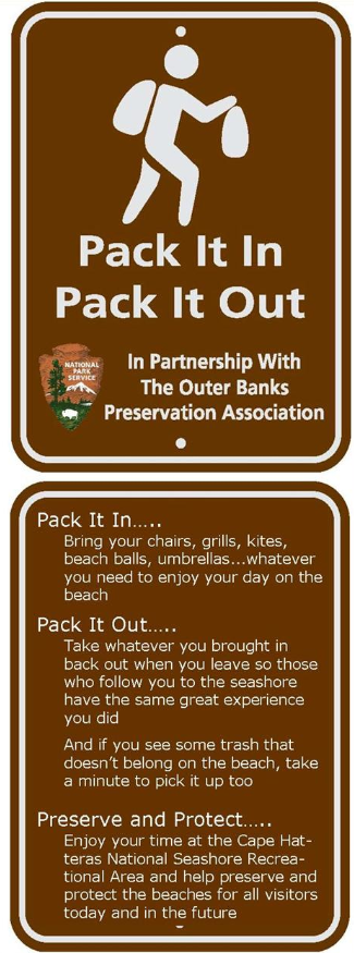
resource protection areas and pedestrian shoreline access corridor adjacent to (seaward of) prenesting areas. Elsewhere, pets must be physically restrained at all times on a leash not exceeding 6 feet in length. For more information, please contact: This email address is being protected from spambots. You need JavaScript enabled to view it. This e-mail address is being protected from spambots. You need JavaScript enabled to view it or call 252-473-2111, ext. 148.


Beach Segment & Route/Area Designation

Status

**Bodie Island (north to south)**

Ramp 1 to 0.5 miles S of Coquina- -

1.7 miles - Pedestrian area

Open.

0.5 mi. S of Coquina to 0.2 mi. S of Ramp 4 -

2.1 miles - ORV route

Open.

0.2 mi. S of Ramp 4 to Oregon Inlet -

1.1 miles - Pedestrian area

Open.

**Hatteras Island (north to south)**

Rodanthe boundary to 0.1 mile S of pier -

1.6 miles - Pedestrian area

Open.

0.1 mile south of Rodanthe pier to Ramp 23 -

3.7 miles - Pedestrian area

Open.

Ramp 23 to 1.5 miles S of Ramp 23 -

1.5 miles - Pedestrian area

Open.

1.5 miles S of Ramp 23 to Ramp 27 -

2.8 miles - ORV route

Open.

Ramp 27 to Ramp 30 - 2.2 miles - Pedestrian area

Open.

Ramp 30 to 2.3 miles S of Ramp 30 –

2.3 miles - ORV route


0.4 mile N of Ramp 43 to Cape Point to 0.3 miles W of the “hook” – 2.1 miles - ORV route

Ramp 43 is open north for 0.4 of a mile for ORV access. Ramp 44 is open with ORV access south to Cape Point. The Interdunal Road and Ramp 45 are open to pedestrian access.

0.3 mile W of the hook to 1.7 miles W of Ramp 45 -

2.8 miles - Pedestrian area

Ramp 45 is open for pedestrian access.

1.7 miles W of Ramp 45 to Frisco boundary -

2.9 miles - ORV route

Open. There is ORV access for 0.4 mi. north of Ramp 49 to where a temporary resource protection closure is located. South of Ramp 49 there is ORV access for 1.1 miles.

Frisco village beach – 1.1 miles - Pedestrian area

Open.

Beach between Frisco & Hatteras villages -

1.4 miles - Pedestrian area

Open.

East boundary Hatteras Village to Ramp 55 -

2.2 miles - Pedestrian area

Open.

Ramp 55 along ocean beach to “Bone Road” -

1.6 miles - ORV route

Open.

Bone Road to Hatteras Inlet, including the “rip” -

1.0 miles - Pedestrian area

Open.

Pole Road to parking area near inlet –

2.3 miles - ORV route

Open. The Pole Road is open to ORV access including Cable Crossing and three spurs over to the ocean shoreline. There is pedestrian access to the inlet and soundside.

Cable Crossing soundside access from Pole Road -

0.2 miles - ORV route

Open.

**Ocracoke Island (north to south)**

Inlet to Ramp 59 – 1.0 miles - Pedestrian area

Open.

Ramp 59 to 4.5 miles S of R59 –

4.5 miles - ORV route

Open. Ramp 59 is open south for 0.4 of mile for ORV access where a temporary resource protection area is located.

4.5 miles S of Ramp 59 to 1.0 mile NE of Ramp 67 -

2.5 miles - Pedestrian area

Open.


1.0 mile NE of Ramp 67 to 0.5 mile NE of Ramp 68 –

1.7 miles - ORV route

Open. North of Ramp 67 is open to ORV access for 0.3 mi. to where a temporary resource protection area is located. South of Ramp 67 is open to ORV access for 0.7 of a mile.

0.5 mile NE of Ramp 68 to Ramp 68 - Ocracoke Campground area – 0.5 miles - Pedestrian area

Open.

Ramp 68 to 0.4 miles NE Ramp 70; includes Ocracoke Day Use area – 2.2 miles - Pedestrian area

Open. There is ORV access for 0.3 mi. north of Ramp 70.

0.4 mile NE of Ramp 70 to Ocracoke Inlet

4.1 miles - ORV route

Open. Ramp 70 and 72 are open. There is ORV access 1.7 miles south of Ramp 70 to Ramp 72 and 1.9 miles south of Ramp 72.

Inlet shoreline along South Point

1.0 miles - Pedestrian area

Open.