
National Park Service News Release
FOR IMMEDIATE RELEASE: March 15, 2012
CONTACT: Cyndy Holda, Public Affairs Specialist, 252-473-2111, ext. 148
Cape Hatteras National Seashore Establishes
Prenesting Areas for 2012 Shorebird Breeding Season
The final off-road vehicle (ORV) management plan (plan) and special regulation for Cape Hatteras National Seashore (Seashore) went into effect on February 15, 2012. In accordance with Table 10-1 of the plan, National Park Service (NPS) Resources Management staff has conducted an annual assessment of breeding habitat for piping plover (PIPL), Wilson’s plover (WIPL), American oystercatcher (AMOY), and colonial waterbirds (CWBs), which occurred between January 30 and February 7, 2012. Prenesting areas for PIPL, AMOY and/or WIPL have been installed by March 15 and prenesting areas for CWB sites will be installed by April 15. The 2012 breeding habitat assessment and prenesting maps are posted on the NPS PEPC website under the Document List for the ORV Management Plan/EIS and Rulemaking project at: http://parkplanning.nps.gov/parkHome.cfm?parkID=358
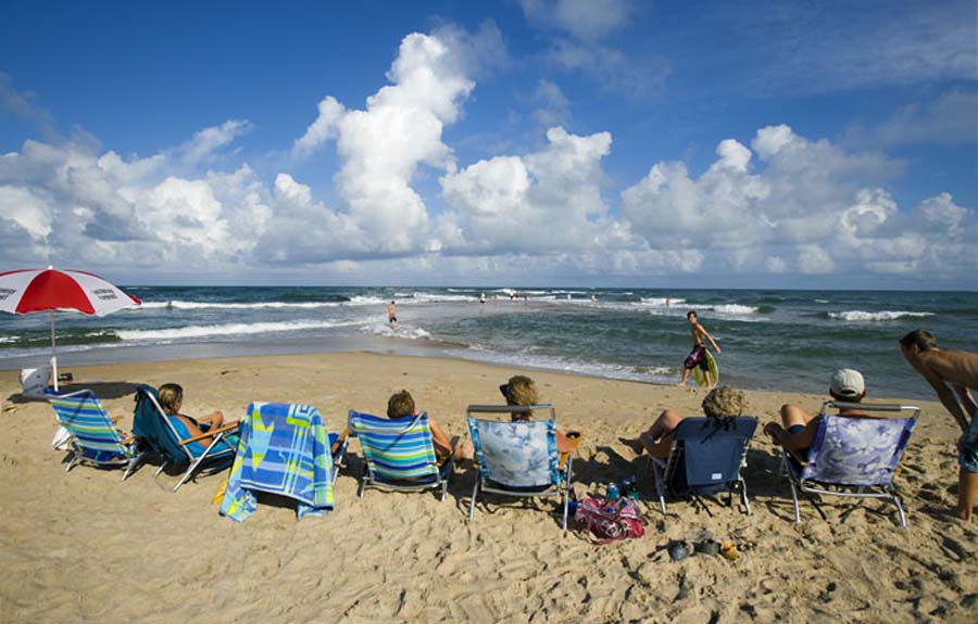
The prenesting closure areas are based on the recent breeding history of the respective protected species at the Seashore and the actual habitat conditions observed during the annual assessment. At most prenesting areas pedestrian access is allowed along the shoreline below the ocean high tide line until such time that shorebird breeding activity is observed, then standard species-specific buffers will be implemented as described in Table 10-1. Dogs are generally prohibited in the pedestrian shoreline access corridor below the high tide line adjacent to the prenesting closures and within any posted resource closure, but properly leashed dogs are otherwise allowed in open ORV routes and pedestrian areas. The site-specific restrictions are posted at each location and on-site signage, rather than the Google Earth map described below, is the most accurate and up-to-date indication of access status.
In addition, on March 15 the Bodie Island Spit seasonal ORV route from 0.2 mile south of Ramp 4 to the inlet was changed to a seasonal Vehicle Free Area in accordance with the designated ORV routes identified in the special regulation. The area is currently open to pedestrians and the seasonal ORV route will reopen to vehicle use on September 15. The designated year-round ORV route from 0.5 of a mile south of Coquina Beach to 0.2 of a mile south of Ramp 4 remains open to vehicles with access via Ramp 4.
As a reminder, March 15 marks the end of the transition period provided to allow park visitors time to obtain the ORV special use permit that is required to use the designated ORV routes. Now that the transition period has ended, NPS law enforcement ranges will actively enforce the permit requirement. ORV permits are available at the following locations: Coquina Beach, the Cape Hatteras Lighthouse Visitor Center (Buxton), and the Ocracoke Visitor Center. The permit offices are open from 8:00 a.m. to 4:30 p.m., year-round, seven days a week, except Christmas Day, with expanded hours on weekends and holidays during the summer season. The cost of an annual permit (valid for the calendar year) is $120. A 7-day ORV permit (valid from the date issued) costs $50. Failure to obtain a permit is a petty offense under Title 36 of the Code of Federal Regulations. Persons cited for violating the permit requirement have the option of paying the $150.00 fine by mail or appearing in U.S. District Court.
The Seashore’s interactive Google Earth map has been updated to reflect these changes. The map is available on-line at: http://www.nps.gov/caha/planyourvisit/googleearthmap.htm Note: Pedestrian access areas, including the shoreline access adjacent to prenesting areas, are indicated by a BLUE line on the Google Earth map.
-NPS-